
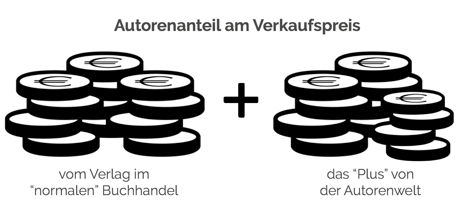
Autorenfreundlich Bücher kaufen?!
Beschreibung
Located on the Congo-Nile ridge, in the northwest of the country, the Kibira National Park is a mountain rainforest with an estimated area of forty thousand hectares (40,000 ha). From north to south, it is 80 km long and has a maximum width of 8 km. It is formed by four sectors including the sector of Rwegura, the sector of Teza, the sector of Musigati and the sector of Mabayi.The objective of our work is to show the role of remote sensing in the monitoring of protected areas. To do this study, two Landsat images of 1986 and Sentinel 2 of 2016 were processed and analyzed. Four main classes were studied: the dense forest class, clearings, cleared areas, and the reservoir. The choice of classes was based mainly on the priorities of the Ministry of Water, Environment, Land Use and Urban Planning but also on the knowledge we have on the study area. To study the evolution of these different classes, we proceeded to supervised classification for the two images to be able to observe the different changes that have taken place over 30 years.
KIBIRA NATIONAL PARK
Details
| Verlag | Our Knowledge Publishing |
| Ersterscheinung | November 2022 |
| Maße | 22 cm x 15 cm x 0.5 cm |
| Gewicht | 107 Gramm |
| Format | Softcover |
| ISBN-13 | 9786205384619 |
| Seiten | 60 |
Schlagwörter
Bekannt durch